Drone Photography Applications
Capturing stunning aerial shots for real estate and more with our professional drone photography.
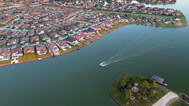
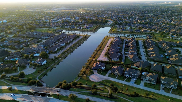
Real Estate, Rentals, Airbnb


Showcase properties with high-quality aerial images that attract potential buyers effectively.


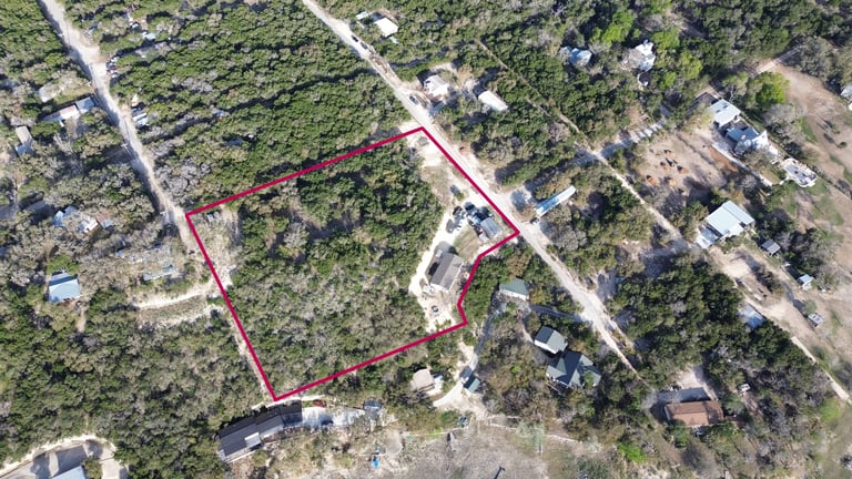
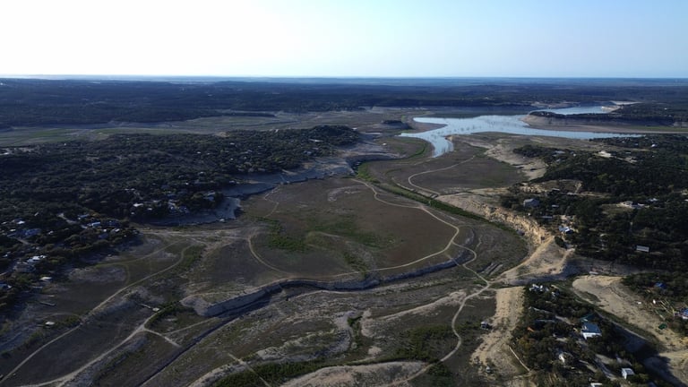
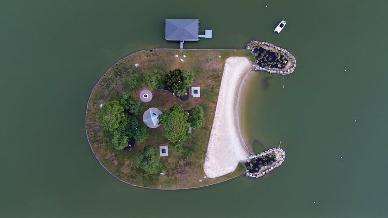
Land Survey and Mapping
Especially useful for large properties or undeveloped land. Highlight property boundaries and unique features or characteristics.
Periodic aerial updates for builders and developers to track construction progress.
Construction Progress
Media Packages
Drone Photos
10 - 15 aerial photos
$150
Elevate Your Listings—Capture, Showcase, Sell.
Drone Video
Cinematic video compilation (60 - 90 seconds)
$250
Premium Package
Aerial photos + Cinematic video compilation
$350
$ VARIES
Land Survey & Mapping
Price depends on project size and complexity.
Options include:
Simple aerial photo/video
Property Line Mapping
Photogrammetry w/ map overlay

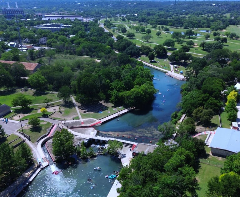
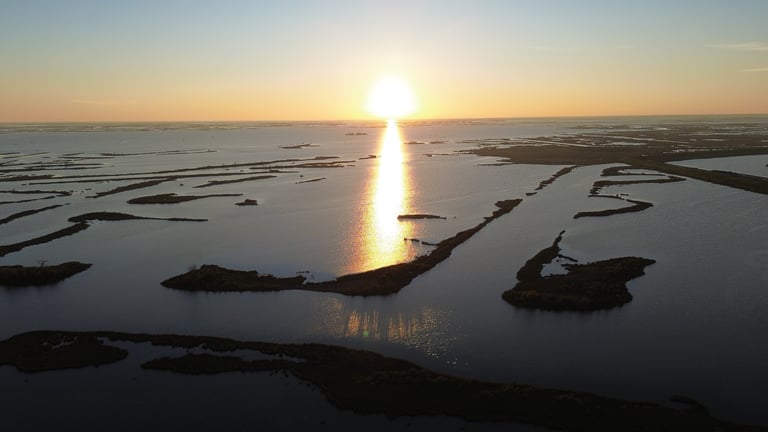
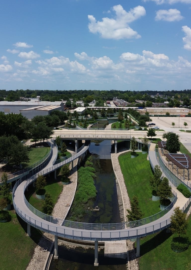
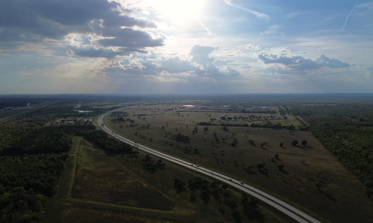
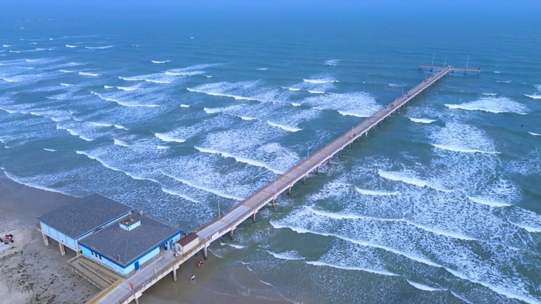
Gallery